Tuscany, Self-guided Eroica Cycling Route: Tips, Stages, and GPS Tracks

One of the most famous and exciting multi-stage cycling routes in Tuscany, approachable for everyone, rich in surprises and famous places, is the permanent Eroica route.
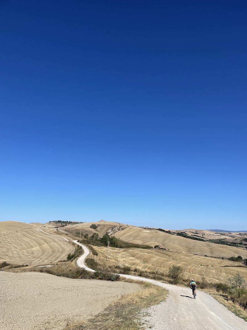
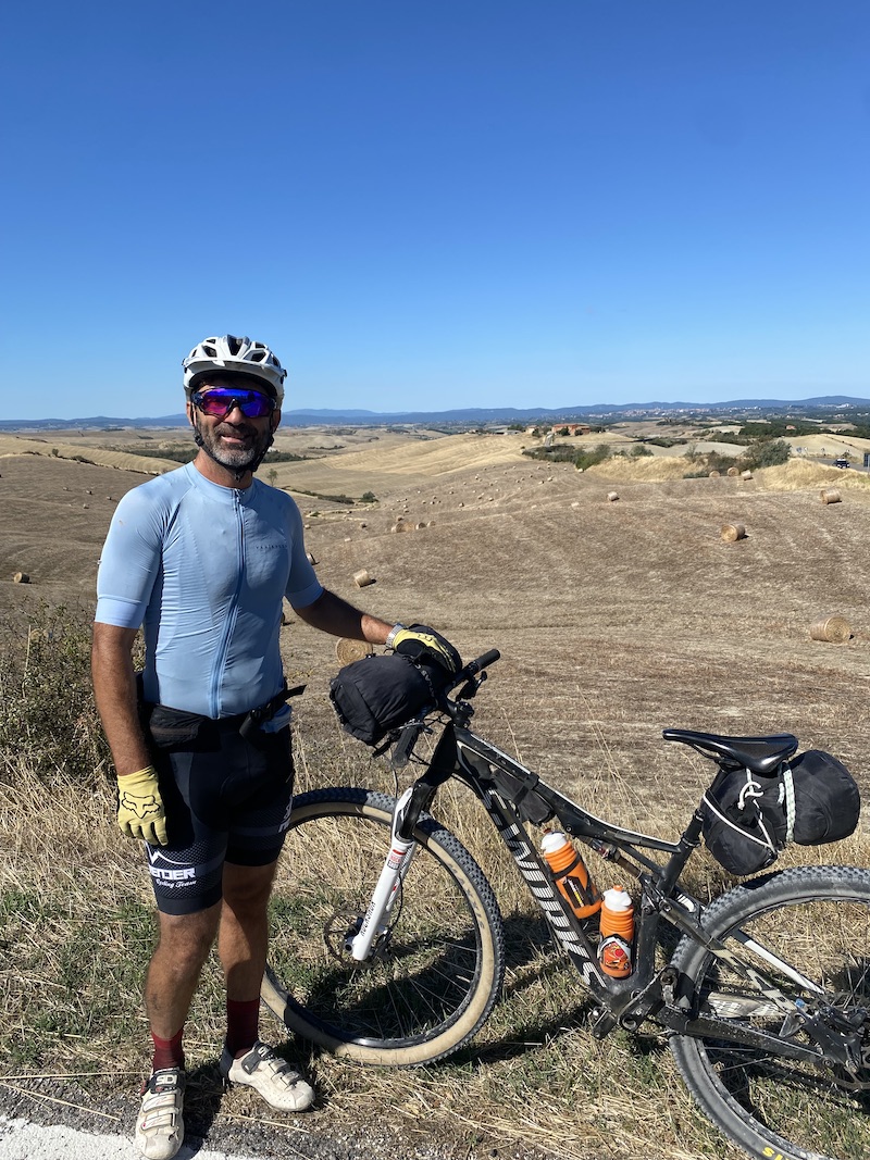
Clear information about how to complete the permanent Eroica route by bike in 4 stages with respective GPS tracks and data such as altitude and length is not easily found online. In this brief article, I want to provide some advice to those who want to enjoy the Eroica route by bike in peace. The starting point is Gaiole in Chianti. We used cross-country mountain bikes because a significant part of the route is on dirt roads: a mountain bike or a gravel bike are certainly the most suitable means.
Eroica Cycling: Where to Stay
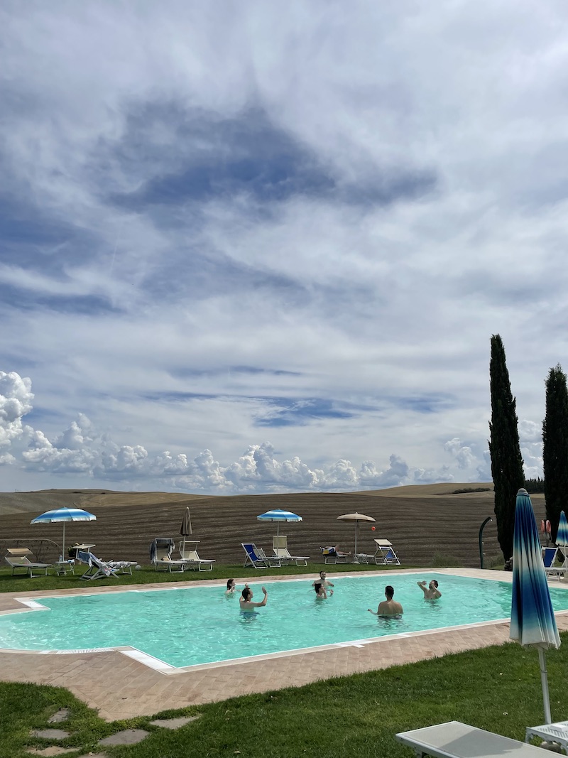
We completed the permanent Eroica route the week after mid-August, which is a fairly touristy period. However, for each stage, we simply did an online search in the afternoon to find a place to stay. We had brought sleeping bags for safety but did not use them.
Equipment and Bikepacking
As for equipment, we used two Specialized Epic mountain bikes with this saddle bag and this handlebar bag.
The Epics are dual-suspension bikes. To prevent the saddle bag from touching the rear wheel, we simply inflated the rear shock to over 200 PSI, effectively making the bike almost ideal for this type of terrain.
#1 First Stage – from Gaiole in Chianti to Monteroni d’Arbia
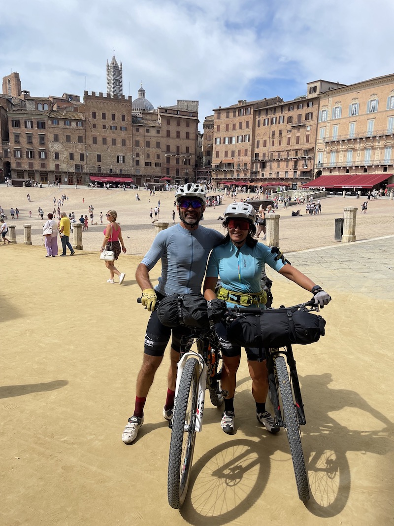
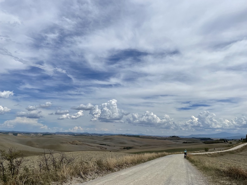
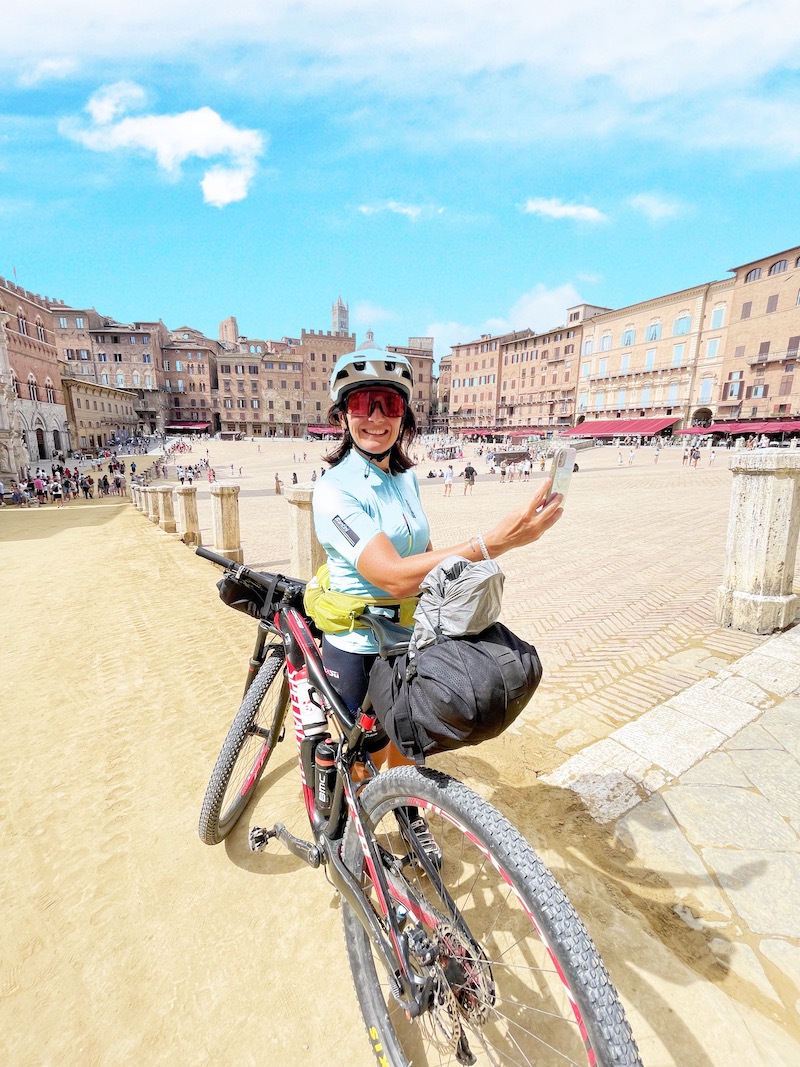
In this stage of the Eroica, you pass through Siena. The first part of the stage takes you through lush forests, but soon you’ll start seeing the classic Tuscan hills. The highlights of this stage, besides being the first and therefore the most exciting, include the imposing and gigantic Brolio Castle with a stunning uphill climb through the woods. In this stage, we also visited the bustling and exciting Siena, full of tourists.
Max elevation: 518 m
Total climbing: 1036 m
Total time: 06:53:48
#2 Second Stage – from Monteroni d’Arbia to Torrenieri
For this stage, we decided to stay overnight in Monteroni d’Arbia, even though it requires deviating from the Eroica route for a stretch and adding 5 extra kilometers to reach the town. However, these additional 5 kilometers can be covered the next day to get back on the Eroica route that we temporarily left, and it’s worth it. During this stage, you pass through Montalcino. Why did we choose not to stay overnight in Montalcino? Simply because finding accommodation there is not the easiest, and personally, I wanted to ride for another hour and reach a much quieter and more economical village.
Max elevation: 613 m
Total climbing: 1259 m
Total time: 07:06:48
#3 Third Stage – from Torrenieri to Asciano
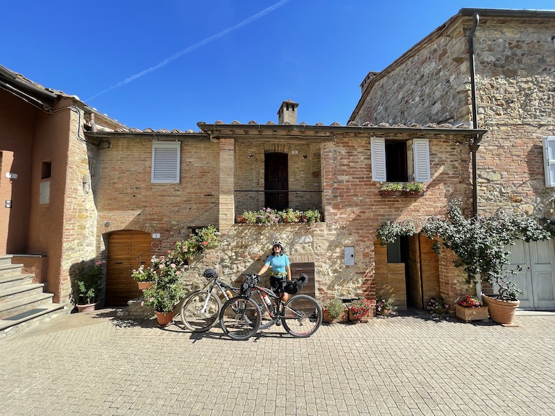
This stage takes place almost entirely on dirt roads in the typical Tuscan environments, featuring wild roads and estates. Asciano is a quite charming village where you can find a place to stay even at the last moment. In this stage, I recommend stopping to eat in Buonconvento, which is a splendid little village.
Max elevation: 388 m
Total climbing: 940 m
Total time: 06:54:56
#4 Fourth Stage – from Asciano to Gaiole in Chianti passing through Radda in Chianti
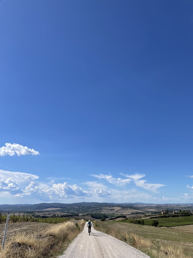
This final stage will take us back to Gaiole in Chianti, where we started. Perhaps this is the most intense stage. As you approach Radda in Chianti, the plowed hills and estates give way to green woods.
Max elevation: 568 m
Total climbing: 1491 m
Total time: 08:43:27
The full gps route of the Eroica
Max elevation: 613 m
Total climbing: 4725 m
Total time: 08:23:14
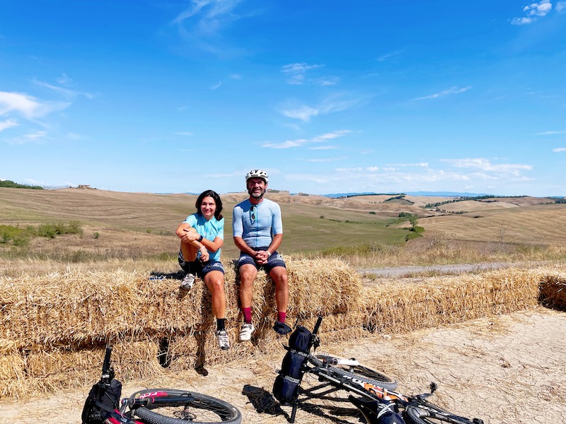
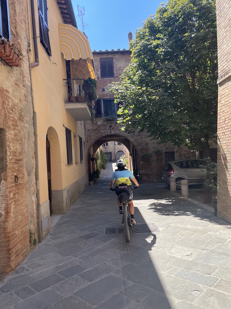
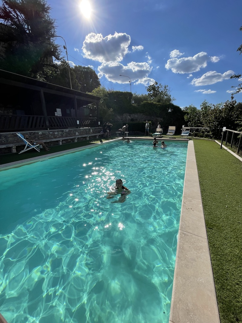
Eroica Cycling Photo Gallery

Sasso Bianco Torre St. Maria percorso Enduro in Valtellina

Dallo Stelvio a Glorenza in Mountain Bike

Hover Air X1 corsa e mtb, recensione e consigli

Sospensioni perfette: Guida alla Regolazione delle Forcelle RockShox

Commençal Meta TR 2023 review

La Via Vandelli in mountain bike: un’avventura tra gli Appennini

Valmalenco MTB , Boletus trail, un sentiero enduro di tutto rispetto
