Santa Lucia di Siniscola to Berchida: 54 km MTB and gravel tour
Route information
- Region / area
- Sardegna
- Province / area
- Nuoro
- Country
- Italy
- GPX starting point
- Lat. 40.58114, lon. 9.77730
- Track length
- Approximately 53.8 km
- Estimated ascent
- 330 m
- Estimated descent
- 330 m
- Minimum GPX elevation
- -1 m
- Maximum GPX elevation
- 96 m
Distance and elevation are estimates from the GPX and may differ from GPS-device calculations.
This tour starts in Santa Lucia di Siniscola and explores one of the most striking stretches of Sardinia’s north-eastern coast, combining dirt roads, trails, coastal wetlands and enjoyable singletrack. Berchida is its symbolic destination, but the real highlight is the landscape between Santa Lucia, Capo Comino and the natural areas behind the beaches.
The track follows part of the Giro Sardegna Gravel 2026 course, an Italian round of the UCI Gravel World Series qualifying for the Gravel World Championships. It is therefore not the World Championship course itself, but a route using roads and dirt tracks raced by riders in the international UCI series.
A route between the sea, wetlands and dirt roads
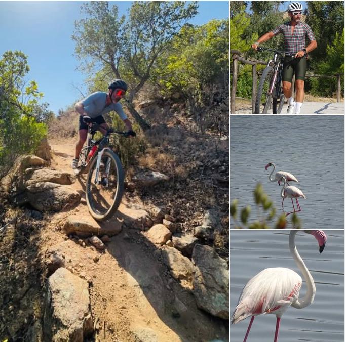
The ride starts almost at sea level in Santa Lucia, a coastal village in the municipality of Siniscola, recognisable by its tower. It heads south between the shoreline, Mediterranean scrub and countryside approaching Capo Comino.
The area features pale sandy beaches, dunes, pinewoods and coastal wetlands. Away from the paved sections, the tour follows a network of tracks and trails revealing a quiet, natural side of Sardinia. The highest elevation recorded in the GPX is just 96 metres, but changing surfaces and short climbs and descents make the ride more varied than the elevation profile suggests.
Towards Berchida, the landscape remains open and bright, with frequent views of the coast. Ponds and wetlands add interest, especially during quieter periods when the area feels wilder.
MTB or gravel bike?
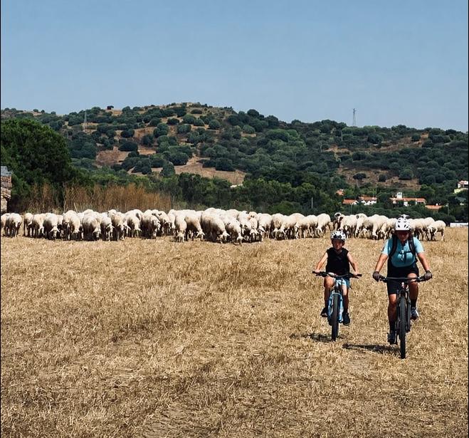
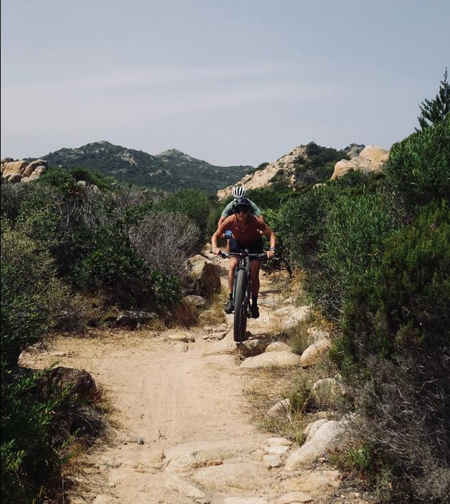
The ride was conceived as a mountain bike itinerary, but it can also be ridden on a gravel bike. Most of the route suits a gravel bike with wide, knobbly tyres. On singletrack, sandy sections and rougher ground, however, an MTB offers more control and comfort.
The choice also depends on the season and ground conditions. After rain, some sections near the wetlands may be damp or muddy; in dry periods, sand and dust can make coastal sections more demanding. Gravel riders should have solid off-road handling experience and choose suitable tyre pressures.
Main route details
- Start and finish: Santa Lucia di Siniscola
- GPX track length: approximately 53.8 km
- Lowest elevation: around sea level
- Highest elevation: 96 m
- Indicative ascent in the original description: approximately 400–500 m
- Surfaces: dirt roads, minor roads, trails and singletrack
- Suggested bike: MTB or gravel bike with knobbly tyres
- Difficulty in the original description: moderate, mainly because of the distance and varied surfaces
The ascent quoted above comes from the original account; the automatically calculated GPX estimates in the data box may differ.
Although the route stays low, it should not be underestimated: heat, wind and limited shade can substantially affect the effort required. In summer, start early, carry plenty of water and respect any access restrictions in natural areas. Surfaces can change, so use the GPX alongside your own assessment of conditions on the ground.
Map and GPX track
View the Santa Lucia di Siniscola–Berchida tour map and download the GPX to follow it on a cycling computer or navigation app.
Nearby routes
Other routes whose starting points are near this route. This does not imply similar difficulty or terrain.