Invergneux Pass by MTB from Cogne
- Mtb life
- December 28, 2016
An intimidating first ride that makes you want to return
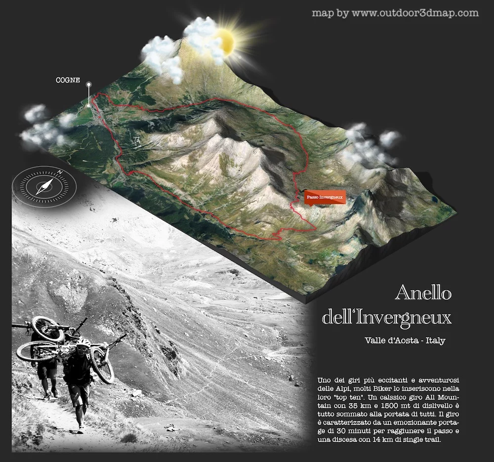
We are in Cogne, in the Aosta Valley, for a ride whose figures suggest a classic all-mountain outing. Yet calling the Invergneux merely a classic does not do it justice: this is an epic ride.
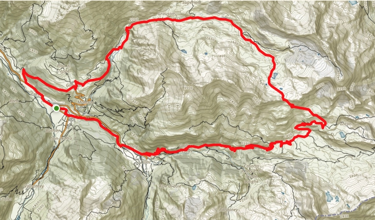
At roughly 35 km and 1,500 metres of ascent, it offers big emotions over a distance and elevation gain within reach of a fit rider. Cogne is reached by leaving the motorway just beyond Aosta and driving up the valley; our drive from the junction took around 35 minutes.
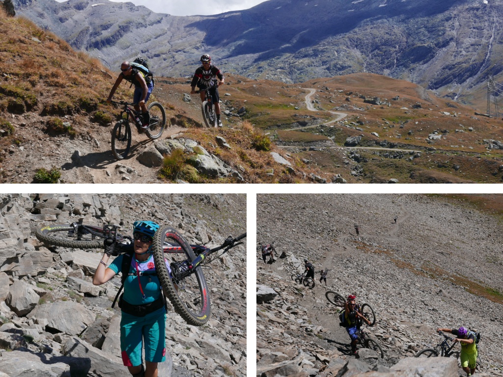
Tury, Alessandro Casarotto and Valeria Viganò.

Mapo keeps pedalling even on the steepest sections.
A ride that feels epic, draws you in and rewards every last metre of effort.
Two things make it special: the roughly half-hour carry to the pass and the seemingly endless, enjoyable descent back to the start. On our outing, the carrying section felt reassuring, without exposed passages, while still giving us the excitement of a big mountain trail.
Carrying the bikes to Invergneux
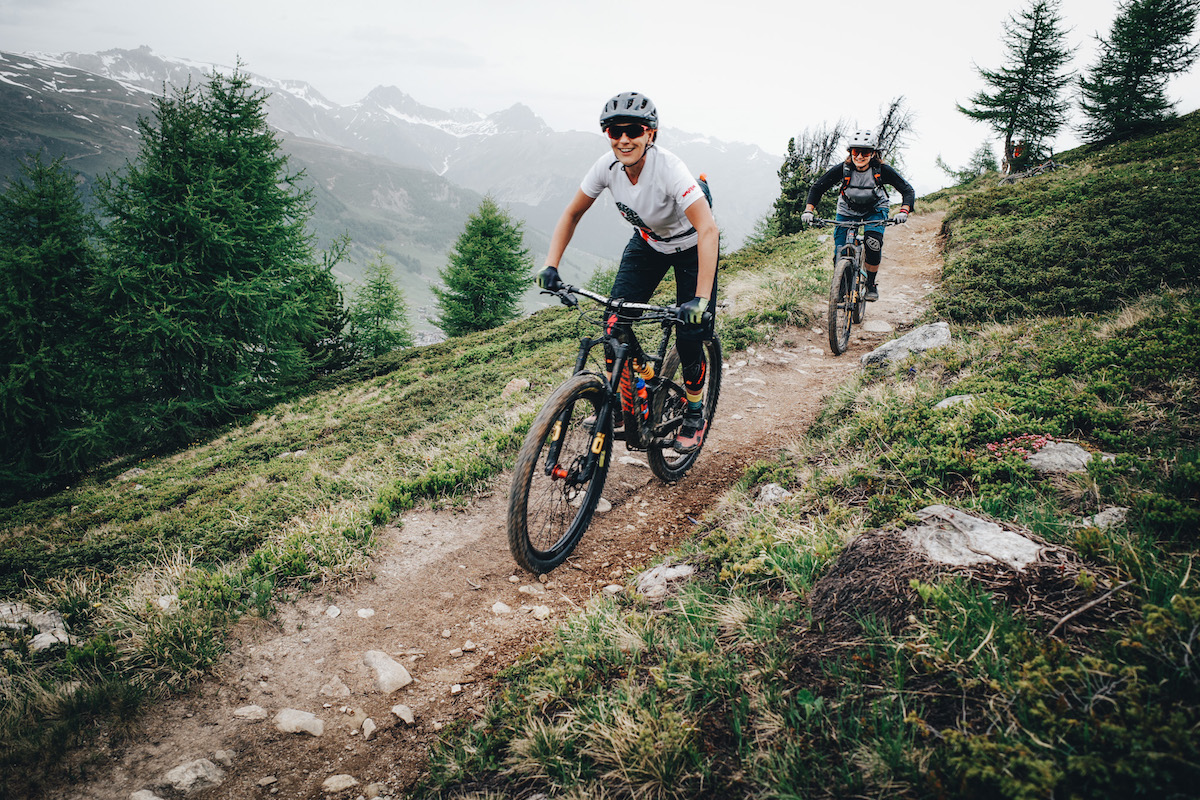
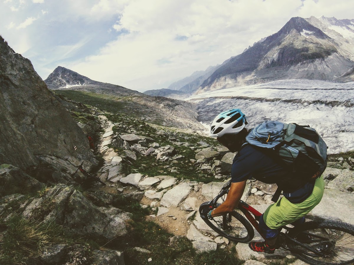
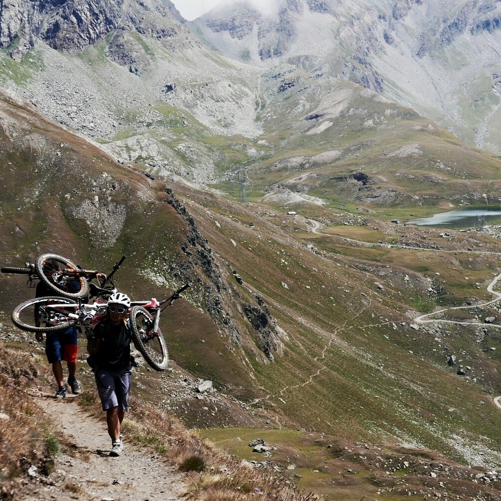
After a couple of hours climbing, leave the gravel road for a beautiful trail across the mountainside. Short steep climbs and undulations bring you below the Invergneux Pass: rocky and unwelcoming at first glance, with ravens standing guard in the silence. The photograph below shows the trail along the slope.
Enrica Brognoli is almost at the pass.
Put the bike on your shoulder and climb slowly towards the pass at around 2,900 metres. Take your time and enjoy feeling like an explorer, with Invergneux ahead and Gran Paradiso behind.
Go slowly and savour the climb. Soon you will be at the top, then down in the valley, then home. Right now, you can enjoy the effort and the achievement one step at a time.
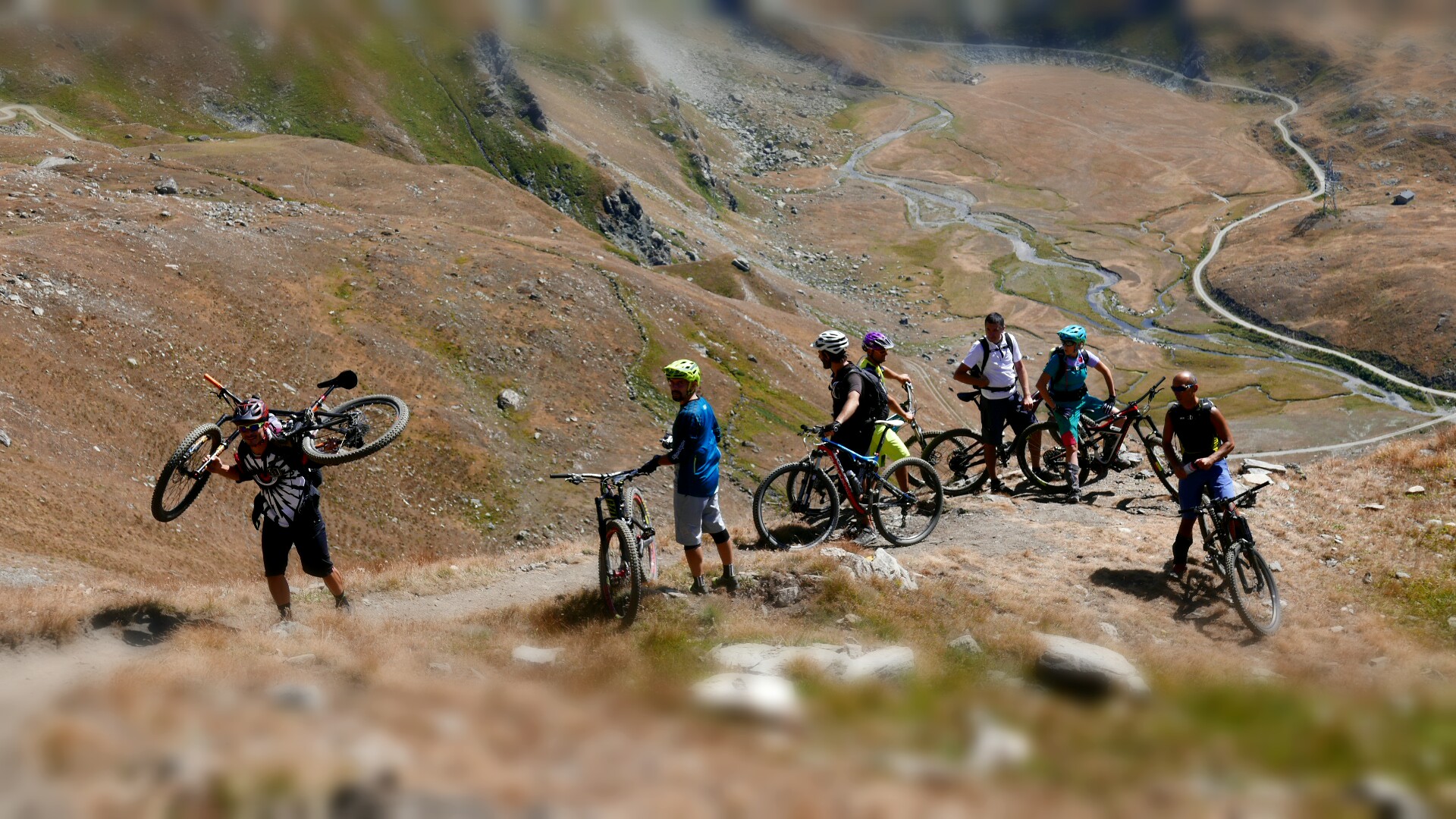
Alessandro Casarotto.
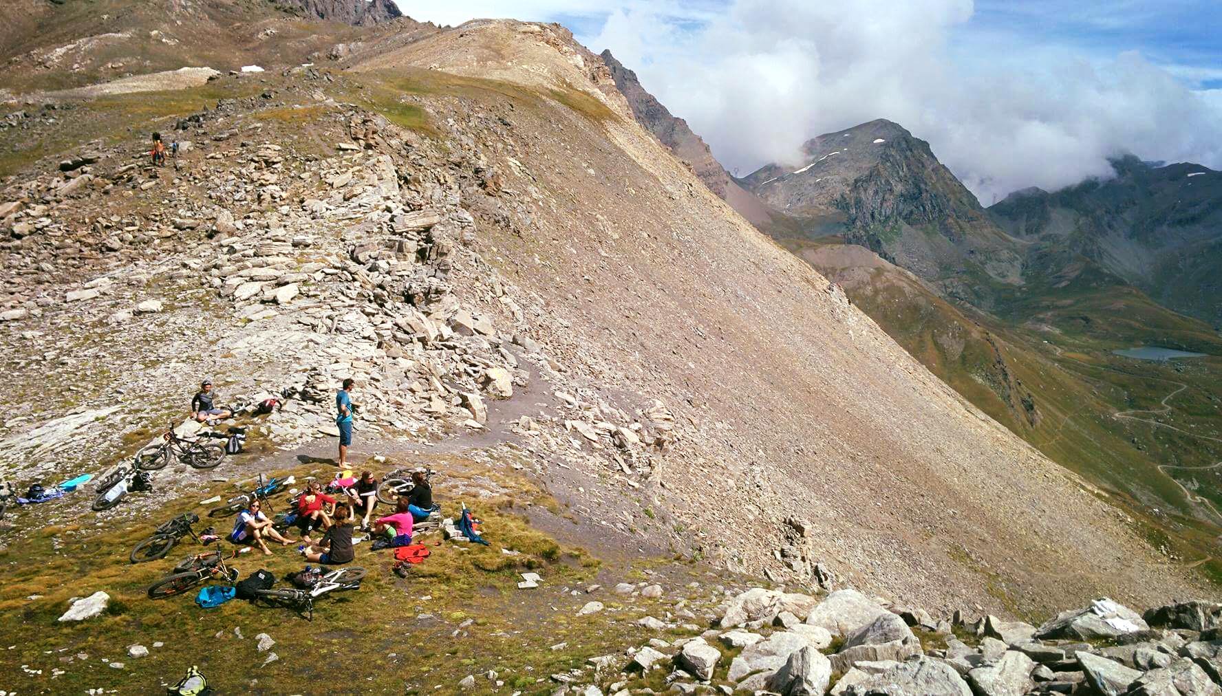
After half an hour, suddenly you are there. A gentle plateau welcomes you like an armchair, friends gather to congratulate each other, and even strangers who arrived before you become part of the celebration.
The long descent through Vallone dell’Urtier

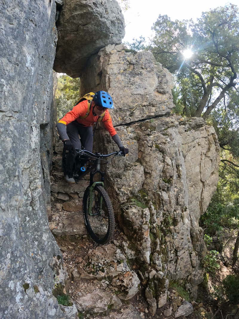
Mapo, Tury and Alessandro enjoying the trail: 15 km of descending!
A very long singletrack descent awaits. Rocky and dusty for the first few kilometres, it gradually becomes greener and more wooded. Vallone dell’Urtier combines flowing riding, switchbacks, short rises and dips, stream crossings and scenery worthy of Oregon.
Invergneux GPS track (in Italian).