Campo Moro and Rifugio Bignami by MTB in Valmalenco
- Mtb life
- July 13, 2020
Valmalenco — words and photographs by Graziano De Maio.
We are at the Campo Moro reservoirs. From Chiesa in Valmalenco, drive towards Campo Franscia and continue up to Campo Moro. Rifugio Bignami stands above the northern part of the reservoir and marks the start of the long descent.
In the Rhaetian Alps: bike carrying and an unforgettable enduro descent
There are two ways to organise the outing. You can drive to Campo Moro, complete the lake loop and drive back down. Alternatively, start at Campo Franscia and ride about 6 km uphill on tarmac before beginning the loop. That second approach adds the option of returning to Franscia on a difficult, trials-like enduro trail that I did not find exposed.
I combined the two: I drove to Campo Moro and later descended to Franscia, because my partner moved the car down. GPS route (route page in Italian).
Valmalenco MTB guide · Valmalenco GPS routes.

Carrying the bike and descending
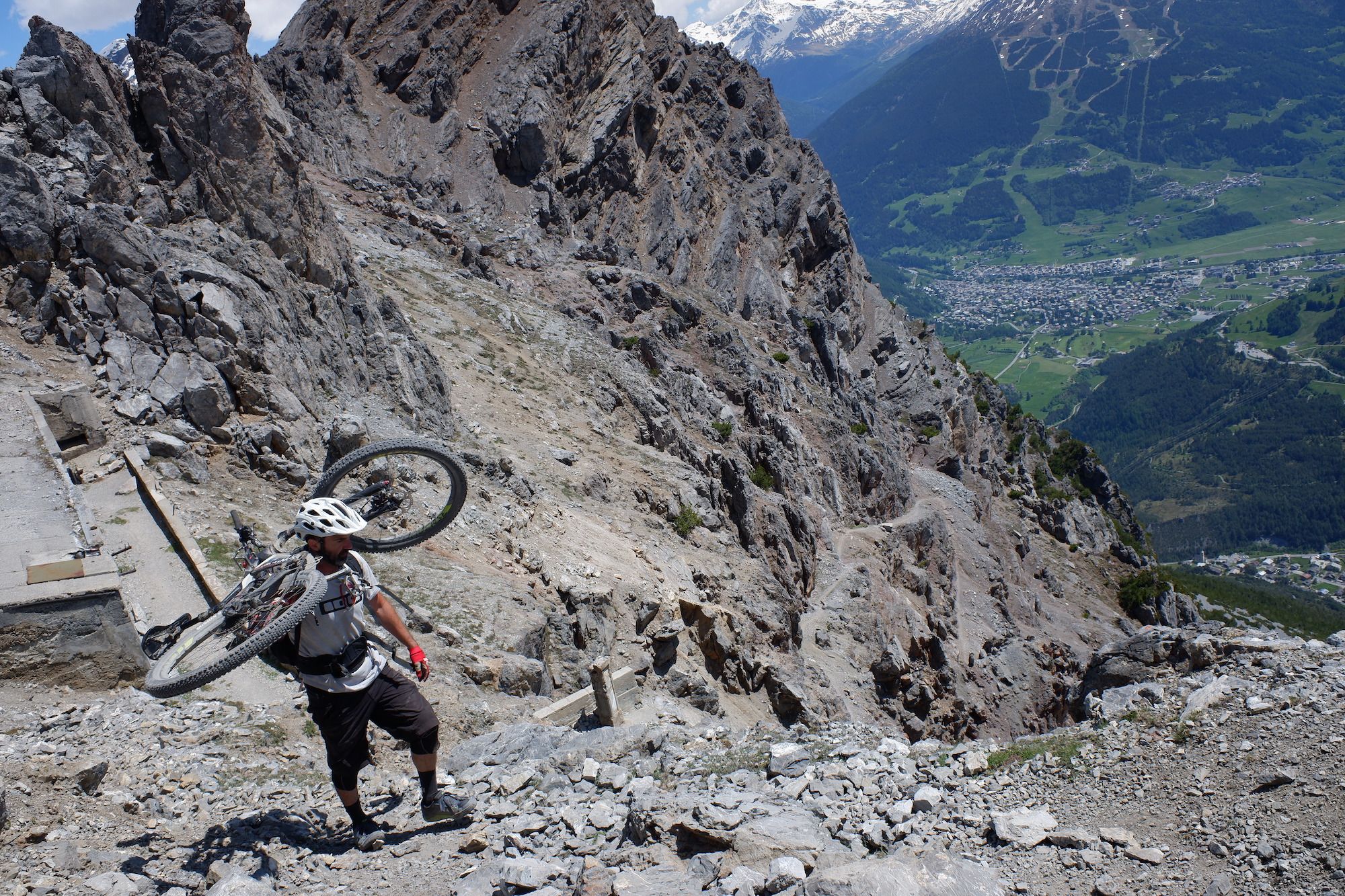
Expect to carry the bike for approximately 300–400 m of ascent. The lake loop includes terrain unsuitable for riders uncomfortable with exposure; the observation about the Franscia descent above does not apply to the entire outing.
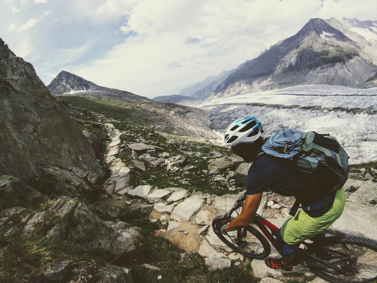
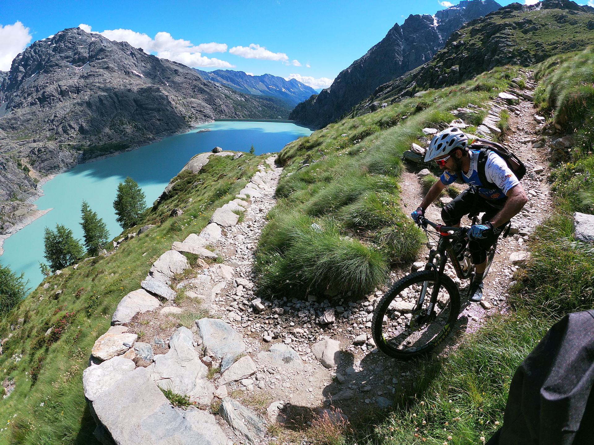
From the dam, a pleasant, nearly level panoramic trail runs for a few hundred metres. About ten minutes of carrying crosses a narrow side valley. An enduro section then descends close to the shore through a striking area cut into the rock, visible in the video below.
Another beautiful traverse brings views towards the hanging Fellaria glacier. The character then changes: the path is roughly level but rises and falls, and becomes unrideable. The northern side of the lake is crossed this way, carrying the bike even without a continuous climb.
Beyond that section, the trail turns sharply uphill towards the knoll supporting Rifugio Bignami. We carried steadily and patiently, reaching the hut in roughly an hour. The view was spectacular.
The descent starts directly from the hut’s plateau. Whether it feels easy or hard depends heavily on your skills; the video is a useful way to judge the terrain for yourself. The long trail gradually approaches the dam. A short stepped climb precedes a steep final descent that loses the remaining height quickly. Reaching the Campo Moro dam completes the loop.