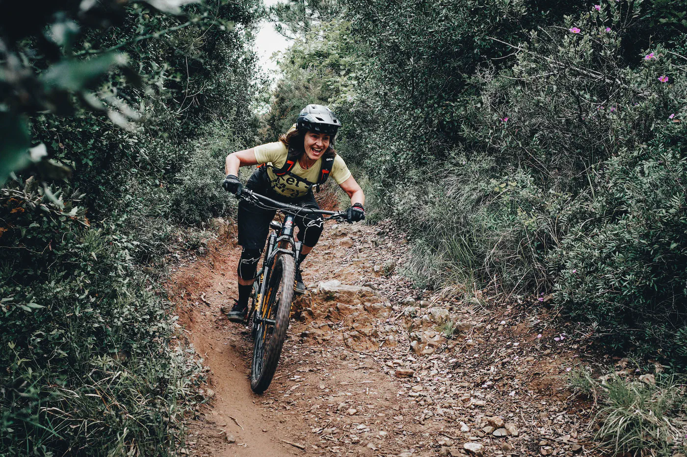
Liguria · routes to discover
The best MTB routes in Liguria
Eight tracks across eastern and western Liguria: MTB rides, all-mountain outings and enduro trails.
Explore the routesLooking for the best MTB routes in Liguria with maps and GPX tracks? This collection brings together eight archive rides around Deiva Marina, Moneglia, Varazze and Beigua, Finale Ligure and Diano Marina. Open the entries to compare estimated lengths, read the accounts and download the files to help choose your ride.
Eastern Liguria, the Beigua area and the western coast offer different options: this selection includes mountain bike outings, all-mountain rides and enduro tracks. Some accounts describe steep sections or bike carrying. “Best” is an editorial selection across areas and ride characteristics, not a difficulty ranking or a recent field inspection. Check the map and local conditions before setting off.
The collection is in English. Route entries are labelled “in Italian” where an English version is not available.
Deiva Marina and Moneglia
Two rides between the coast and inland hills of eastern Liguria.
MTB
Deiva Marina and Moneglia
The described ride starts in Moneglia and follows trails around Deiva Marina.
≈ 30.4 kmGPX length
The account describes flowing trails mixed with more demanding sections, and an alternative access from Deiva.
Map and GPX in ItalianMTB
Moneglia, San Nicolao and Pietra di Vasca
Climb from Moneglia to Passo del Bracco and towards Monte San Nicolao, then follow trails towards Pietra di Vasca and Tagliamento.
≈ 27.6 kmGPX length
The account notes steep climbs, a sandy descent and return options: compare them with the GPX.
Map and GPX in ItalianVarazze and Beigua
Two separate tracks in the Monte Beigua area.
MTB
Varazze–Beigua
An archive proposal for a mountain bike ride on the Beigua behind Varazze.
≈ 24.2 kmGPX length
The description is brief: inspect the layout and available data in the entry.
Map and GPX in ItalianMTB
Monte Beigua: an alternative ride
A second MTB track on the Beigua, to compare with the Varazze–Beigua proposal.
≈ 21.6 kmGPX length
The GPX files describe separate rides: geographical proximity does not imply the same technical characteristics.
Map and GPX in ItalianFinale Ligure
Two rides from Finale, with a dedicated collection for more options.
MTB · all mountain
Finale: all mountain between land and sea
A ride linking woodland to Le Manie, mentioning DH Donne, Balconata and the return on La Briga.
≈ 32.8 kmGPX length
Read the account to assess the trail combination and overall demands.
Map and GPX in ItalianMTB · trails
Roller Coaster, Metanodotto, Bondi and XMAN
A combination of trails returning towards Finalborgo, described in the Roller Coaster entry.
≈ 21.9 kmGPX length
The account notes roughly 400 metres of climbing even when using a van.
Map and GPX in ItalianDiano Marina and the surrounding valleys
Enduro and a demanding ride in the valleys of western Liguria.
MTB · enduro
Maiali: enduro in Diano Marina
The entry presents Maiali as a classic enduro route in Diano Marina.
≈ 17.5 kmGPX length
The account calls for good riding skills: a shorter distance does not imply an easy ride.
Map and GPX in ItalianMTB · pushing or carrying sections
Diano valleys ride
The account starts and finishes at Oasi Park, combining singletrack, dirt roads and asphalt.
≈ 44.9 kmGPX length
The account notes bike carrying, demanding climbs and descents, and a risky descent; it calls for fitness and very good technique.
Map and GPX in ItalianBefore choosing your ride
Where can I find the maps and GPX tracks?
Open “Map and GPX” on a card to view the route entry, map and download button (“Scarica GPX” on Italian pages). Distances are estimates calculated from the available files; separate segments are not joined in the calculation.
Is a shorter route also easier?
Distance alone does not indicate difficulty. Read the account to assess climbs, terrain, technical sections, bike pushing or carrying and any lifts. For files containing multiple tracks, the displayed length is their combined distance.
Can I ride these routes on an e-MTB?
A GPX track does not establish e-MTB suitability. Consider climbing, battery range, unrideable sections and local rules; where lifts are involved, also check bike-transport conditions.
Do the tracks reflect current conditions?
These are archive tracks from different dates. Before setting off, check access, restrictions, weather and trail conditions with local sources. GPX estimates are not a field verification.