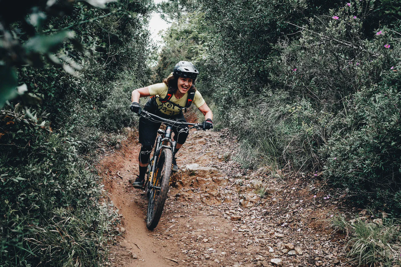
Finale Ligure · routes to discover
The best MTB routes in Finale Ligure
Eleven tracks between coast and inland hills: compare pedalled loops, all-mountain outings and enduro rides.
Explore the routesLooking for the best MTB routes in Finale Ligure, a Roller Coaster GPX track or a pedalled loop linking Le Manie and Ciappi? This collection brings together eleven rides from the Turbolince archive, from all-mountain outings to enduro trails in the Finale area. Each card links to a map and downloadable GPX, with an estimated track length to help you compare the rides.
Distance is only part of the choice: some accounts describe technical sections, others combine several trails or mention using a shuttle. Le Manie, Caprazzoppa, San Bernardino and the inland hills offer different experiences. “Best” means an editorial selection, rather than a ranking: read the notes, inspect the track and check current information before setting off.
The collection is in English. Route entries are labelled “in Italian” where an English version is not available.
A photo guide to get to know the trails
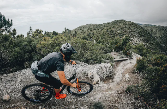
Le Manie and coast-to-hills rides
Four outings on trails around Finale.
MTB · all mountain
All mountain between land and sea
The account links woodland to Le Manie, mentioning DH Donne, Balconata and the return on La Briga.
≈ 32.8 kmGPX length
Open the entry to assess the trail combination and the full ride.
Map and GPX in ItalianMTB
Le Manie
The archive track for Le Manie, described as featuring trails with sea views.
≈ 18.6 kmGPX length
The account specifies following the track clockwise.
Map and GPX in ItalianMTB
The Roman bridges
One of the established proposals in the Finale Ligure archive.
≈ 23.4 kmGPX length
The entry has a short description: inspect the track before choosing the ride.
Map and GPX in ItalianMTB · full-day ride
The Big Around: Ciappi and Le Manie
The track links Ciappi and Le Manie in an outing described as a full-day ride.
≈ 30.9 kmGPX length
It combines several areas: assess the overall demands in the entry.
Map and GPX in ItalianCiappi, San Bernardino and Caprazzoppa
Four tracks across the inland hills and headland.
MTB
Ciappi loop
The archive outing for Ciappi in the hills behind Finale Ligure.
≈ 24.9 kmGPX length
The description is brief; compare it with the track and local information.
Map and GPX in ItalianMTB · freeride
San Bernardino
An asphalt climb and a section of the Ciappi trail before descending San Bernardino.
≈ 12.6 kmGPX length
The account notes technical sections and narrow passages between rocks.
Map and GPX in ItalianMTB · technical sections
Caprazzoppa trails
A tour of the headland trails between Finale Ligure and Borgio Verezzi.
≈ 16.9 kmGPX length
The account mentions some technical downhill sections.
Map and GPX in ItalianMTB
Capra Zoppa trail track
A separate archive track for the trail named Capra Zoppa.
≈ 51.8 kmGPX length
It does not automatically match the full headland tour: compare the two GPX tracks.
Map and GPX in ItalianRoller Coaster, enduro and pedalled rides
Three trail combinations to assess in their individual entries.
MTB · trails
Roller Coaster, Metanodotto, Bondi and XMAN
The account links Roller Coaster to Metanodotto, Bondi and XMAN, returning towards Finalborgo on trails.
≈ 21.9 kmGPX length
The entry notes roughly 400 metres of climbing even when using a van: a shuttle does not mean an entirely downhill ride.
Map and GPX in ItalianMTB · race track
Superenduro Short
An archived short version of the Finale Ligure Superenduro.
≈ 31.6 kmGPX length
This is a historic race track, not the programme for a current event.
Map and GPX in ItalianMTB · pedalled freeride outing
Sentiero H, Pian Merlino and Pian Marino
Starting in Finale, the account climbs towards Base NATO via Calice and combines the three named trails.
≈ 44.0 kmGPX length
The account describes three freeride descents: assess both the technical demands and total climbing.
Map and GPX in ItalianBefore choosing your ride
Where can I find the maps and GPX tracks?
Open “Map and GPX” on a card to view the route entry, map and download button (“Scarica GPX” on Italian pages). Distances are estimates calculated from the available files; separate segments are not joined in the calculation.
Is a shorter route also easier?
Distance alone does not indicate difficulty. Read the account to assess climbs, terrain, technical sections, bike pushing or carrying and any lifts. For files containing multiple tracks, the displayed length is their combined distance.
Can I ride these routes on an e-MTB?
A GPX track does not establish e-MTB suitability. Consider climbing, battery range, unrideable sections and local rules; where lifts are involved, also check bike-transport conditions.
Do the tracks reflect current conditions?
These are archive tracks from different dates. Before setting off, check access, restrictions, weather and trail conditions with local sources. GPX estimates are not a field verification.