Aosta Valley · routes to discover
The best MTB routes in the Aosta Valley
Cogne, Conca di By and Cervinia: six tracks to explore the Aosta Valley by mountain bike.
Explore the routesLooking for MTB routes in the Aosta Valley with GPX tracks? These six rides cover Cogne Valley, Conca di By and Valtournenche, from the Invergneux Pass mountain bike route to Cervinia’s Alpage Trail, the mining itinerary and Lake Tsan. Each card links to a map and downloadable GPX, with an estimated track length to help you compare the rides.
Choosing where to mountain bike in the Aosta Valley also means considering trails and sections where you may need to carry your bike. Invergneux is documented as a demanding ride; some other archive entries have shorter descriptions that do not establish a precise difficulty. “Best” means an editorial selection spanning different areas and experiences. If you are looking for gravel routes in the Aosta Valley, a farm-road section alone does not establish suitability for the entire track.
The collection is in English. Route entries are labelled “in Italian” where an English version is not available.
Cogne and Invergneux
The mountain pass and an alternative mining itinerary from Cogne.
MTB · bike carrying
Cogne and Invergneux Pass
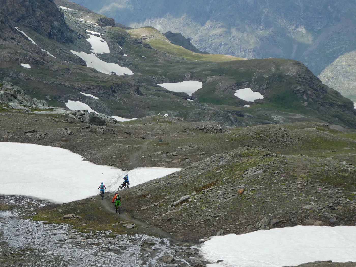
The Invergneux ride with its long singletrack descent towards Cogne.
≈ 34.2 kmGPX length
The account describes carrying the bike for the final 300 metres and technical sections on the descent.
Map and GPX in ItalianMTB
Cogne mining itinerary
A ride starting in Cogne, presented in the archive as an alternative to Invergneux.
≈ 39.1 kmGPX length
The description is brief: assess the track without assuming the same difficulty as Invergneux.
Map and GPX in ItalianConca di By and Menouve Valley
Two archive tracks described as following farm roads.
Farm road
Conca di By
The entry describes a farm-road itinerary leading into Conca di By.
≈ 9.1 kmGPX length
The length refers to the available file; it does not establish a loop or an easy ride.
Map and GPX in ItalianFarm road
Menouve Valley
The account starts at Prailles Dessous and follows the farm road up the valley.
≈ 8.8 kmGPX length
The account describes a long outing: inspect the actual route on the map.
Map and GPX in ItalianCervinia and Lake Tsan
An MTB trail and a separate loop itinerary.
MTB · trail
Cervinia: Alpage Trail
The Alpage Trail entry for exploring Cervinia by mountain bike.
≈ 8.9 kmGPX length
The entry does not provide a detailed technical difficulty rating.
Map and GPX in ItalianLoop itinerary
Lake Tsan
The archive track is described as a loop reaching Lake Tsan.
≈ 39.3 kmGPX length
Inspect the map: the brief description does not document the terrain and difficulty of the entire ride.
Map and GPX in ItalianBefore choosing your ride
Where can I find the maps and GPX tracks?
Open “Map and GPX” on a card to view the route entry, map and download button (“Scarica GPX” on Italian pages). Distances are estimates calculated from the available files; separate segments are not joined in the calculation.
Is a shorter route also easier?
Distance alone does not indicate difficulty. Read the account to assess climbs, terrain, technical sections, bike pushing or carrying and any lifts. For files containing multiple tracks, the displayed length is their combined distance.
Can I ride these routes on an e-MTB?
A GPX track does not establish e-MTB suitability. Consider climbing, battery range, unrideable sections and local rules; where lifts are involved, also check bike-transport conditions.
Do the tracks reflect current conditions?
These are archive tracks from different dates. Before setting off, check access, restrictions, weather and trail conditions with local sources. GPX estimates are not a field verification.