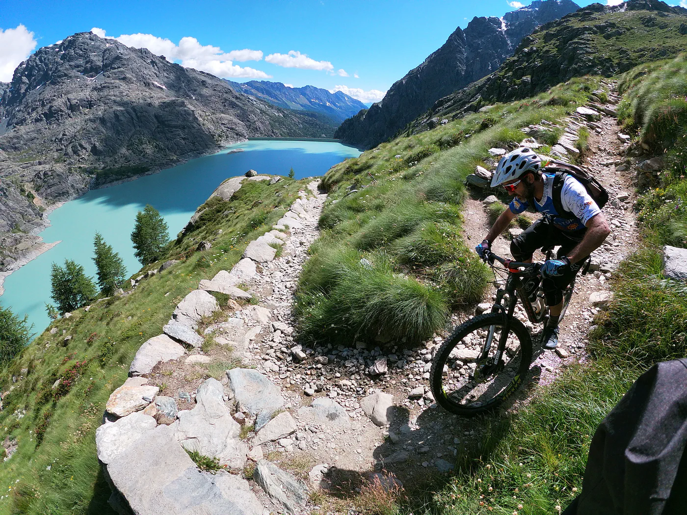
Valtellina · routes to discover
The best MTB trails in Valtellina
Santa Caterina, Livigno and Valmalenco, plus Bormio and the Adda: photo guides and eleven tracks to help you choose your ride.
Explore the routesLooking for the best MTB trails in Valtellina, a ride around Santa Caterina Valfurva, a Livigno mountain bike route or an outing in Valmalenco? This guide keeps the three destinations from the original Italian article and expands the selection to eleven routes with maps and GPX tracks: Val Cedec and Dos Balon, Alpisella–Gallo–Trela, Lake Palù, Caspoggio and Campo Moro, plus Bormio, Val Viola and the terraced slopes.
The three photo guides introduce the areas; the route cards below let you compare tracks and their estimated lengths. For gravel cycling in Valtellina, the Adda cycle route is documented as an option for gravel bikes too. Enduro trails, exposed sections and rides with bike carrying have different demands: choose according to the account, your experience and current route conditions.
“Best” is an editorial selection rather than an absolute ranking. You can also browse all tracks in the province of Sondrio (in Italian).
The collection is in English. Route entries are labelled “in Italian” where an English version is not available.
Three guides to explore the area
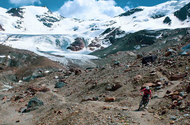
Santa Caterina Valfurva
Val Cedec, Dos Balon, Dynamite Trail and the Tibetan bridges: explore the rides and photographs.
Read the guide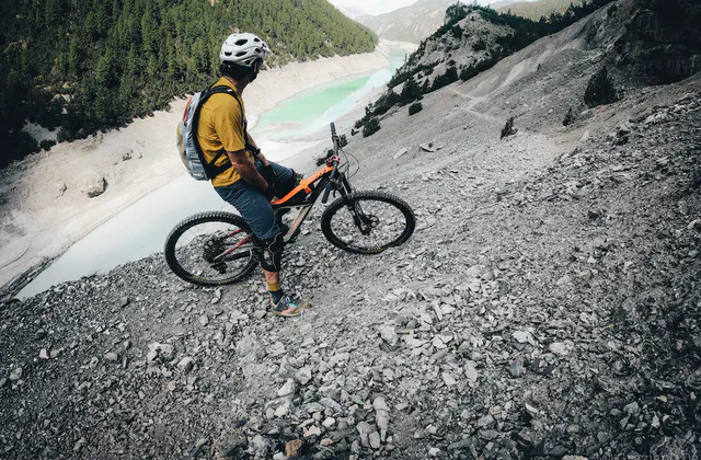
Livigno and Alta Rezia
Alpisella and Trela, Val Federia and Valle delle Mine: the guide links several Livigno trails.
Read the guide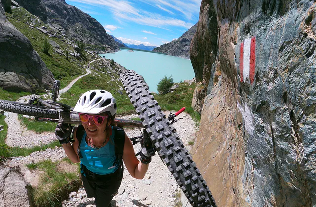
Valmalenco
Palù, Caspoggio, Primolo, Campo Moro and Sasso Bianco: accounts, photographs and track links.
Read the guideSanta Caterina Valfurva
Val Cedec and Dos Balon: two enduro tracks in Alta Valtellina.
MTB · enduro
Val Cedec, Pizzini, Panoramica and Ables
The Santa Caterina track brings together Val Cedec, Pizzini refuge, Panoramica and Ables.
≈ 25.0 kmGPX length
The entry classifies this as enduro. The Santa Caterina guide explores the area’s rides in more detail.
Map and GPX in ItalianMTB · enduro
Dos Balon
An archive proposal for Dos Balon at Santa Caterina Valfurva.
≈ 20.9 kmGPX length
The account describes an adventurous enduro ride, without a detailed technical rating.
Map and GPX in ItalianLivigno and the alpine passes
Two rides in the Livigno area.
MTB · alpine ride
Livigno: Alpisella, Gallo and Trela
Starting from Livigno, this tour crosses the Alpisella, Gallo and Trela passes.
≈ 52.4 kmGPX length
The account calls for fitness and experience; distance alone does not capture the demands of the ride.
Map and GPX in ItalianMTB
Livigno: Valle delle Mine
An archive track for Valle delle Mine in the Livigno area.
≈ 21.8 kmGPX length
Open the entry to read the account and assess the track characteristics.
Map and GPX in ItalianValmalenco: Palù, Caspoggio and Campo Moro
From Primolo’s singletrack to enduro trails and alpine lakes.
MTB · singletrack
Primolo to Lake Palù
Starting from Primolo, the track climbs towards Lake Palù along the trail described in the entry.
≈ 17.0 kmGPX length
The account notes some exposed sections. Assess trail conditions carefully.
Map and GPX in ItalianMTB · enduro
Caspoggio: Lockdown
The Lockdown trail track, with a climb that is steep in places and a descent towards Caspoggio.
≈ 14.0 kmGPX length
The entry gives the descent a red difficulty rating and calls for experience on alpine trails.
Map and GPX in ItalianMTB · bike carrying
Campo Moro, Bignami refuge and Franscia
The outing between Campo Moro, Bignami refuge and Franscia, also covered in the Valmalenco guide.
≈ 19.4 kmGPX length
The account describes climbing with the bike on your shoulders and an enduro descent: a ride for experienced mountain bikers.
Map and GPX in ItalianBormio and Val Viola
The Oga side of the valley and the Decouville–Val Viola track.
MTB
Bormio and Forte di Oga
A ride starting in Bormio on the Oga side of the valley.
≈ 29.6 kmGPX length
The original account describes medium difficulty, without a detailed technical rating.
Map and GPX in ItalianMTB
Decouville and Val Viola
The account mentions Premadio, the Fraele Towers hairpins, the Decouville towards Arnoga and Val Viola.
≈ 27.6 kmGPX length
Inspect the map to check the actual extent of the available track.
Map and GPX in ItalianThe Adda and terraced slopes
A valley cycle route and a distinct MTB variation.
Cycle route · gravel
Valtellina cycle route: Colico–Bormio
The guide follows the Adda from Lake Como to Bormio and suggests a staged itinerary.
≈ 111.6 kmGPX length
Point-to-point route. The final stretch towards Bormio is more demanding: plan your stages and return.
Map and GPXMTB · singletrack
Terraced slopes: the MTB variation
Follows part of the terraced-slopes itinerary with variations through woodland and the terraces themselves.
≈ 51.6 kmGPX length
The account includes singletrack: this is not a gravel classification of the Via dei Terrazzamenti.
Map and GPX in ItalianBefore choosing your ride
Where can I find the maps and GPX tracks?
Open “Map and GPX” on a card to view the route entry, map and download button (“Scarica GPX” on Italian pages). Distances are estimates calculated from the available files; separate segments are not joined in the calculation.
Is a shorter route also easier?
Distance alone does not indicate difficulty. Read the account to assess climbs, terrain, technical sections, bike pushing or carrying and any lifts. For files containing multiple tracks, the displayed length is their combined distance.
Can I ride these routes on an e-MTB?
A GPX track does not establish e-MTB suitability. Consider climbing, battery range, unrideable sections and local rules; where lifts are involved, also check bike-transport conditions.
Do the tracks reflect current conditions?
These are archive tracks from different dates. Before setting off, check access, restrictions, weather and trail conditions with local sources. GPX estimates are not a field verification.