Monza and Brianza · routes to discover
The best MTB and gravel routes in Monza and Brianza
Seven rides linked to Monza and Brianza: the park, Lambro valley, Pegorino and an MTB and gravel track from Sovico.
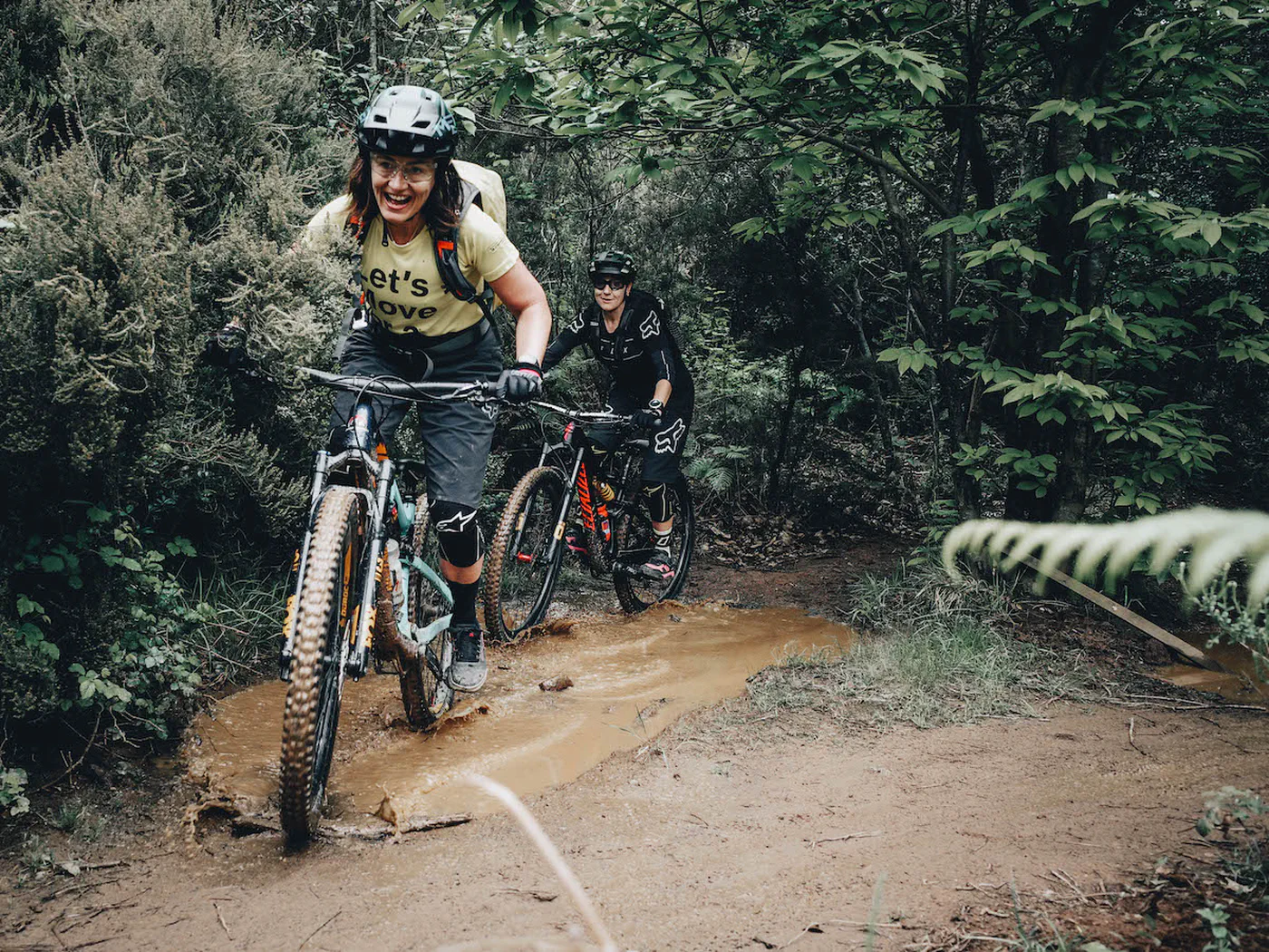
Illustrative MTB photograph, taken in Finale Ligure.
Explore the routesLooking for MTB and gravel routes in Brianza, near Monza, Carate Brianza, Biassono or Sovico? This collection focuses on the province of Monza and Brianza, with seven archive proposals: Monza Park, links along the Lambro, the Pegorino valley and one ride documented for both MTB and gravel. Each entry has a map and downloadable GPX track.
Brianza extends beyond the provincial boundaries: the Sovico proposal reaches Montevecchia in the Lecco area, and is explicitly labelled as crossing into another province. The other rides are introduced using the places documented in their entries, without treating a province field as proof of every point on the track. To choose between mountain biking and gravel riding near Monza, read the terrain descriptions: a singletrack or cycle-path section does not classify the entire route.
“Best” is an editorial selection across areas and ride characteristics, not a difficulty ranking or a recent field inspection.
The collection is in English. Route entries are labelled “in Italian” where an English version is not available.
Monza, Biassono and the Lambro valley
Four proposals around the park, river and a start in Carate.
MTB · park ride
Monza Park by mountain bike
The track is described as staying inside Monza Park.
≈ 23.5 kmGPX length
The historic description does not replace current park rules and signs.
Map and GPX in ItalianShared walking and cycling route
Lambro Valley Park: Monza–Agliate
The account starts in Monza Park and follows the Lambro route towards Agliate where available.
≈ 15.4 kmGPX length
The entry mentions returning the same way. Check the continuity and condition of the passages.
Map and GPX in ItalianMTB
Around the Lambro from Carate Brianza
A documented start in Carate Brianza for a ride in the Lambro area.
≈ 30.4 kmGPX length
The account contains historic access directions: check them on the map and locally.
Map and GPX in ItalianMTB
Biassono to the Lambro
The ride starts in Biassono, passes Parco del Chignolo and heads towards the Lambro.
≈ 23.4 kmGPX length
Open the entry to inspect the exact route and GPX.
Map and GPX in ItalianPegorino valley
A loop and a separate out-and-back track.
MTB · loop
Val Pegorino loop
A track described as an MTB loop passing through the Pegorino valley.
≈ 17.7 kmGPX length
The account is brief: inspect the map and trail conditions.
Map and GPX in ItalianOut-and-back route
Pegorino valley: out and back
The entry describes an outing in the Pegorino valley returning along the same track.
≈ 6.8 kmGPX length
This is separate from the loop: compare the two routes on the map.
Map and GPX in ItalianMTB and gravel from Sovico
A documented gravel option that extends into the Lecco area.
MTB and gravel · crosses provincial boundary
Sovico, Briosco and Montevecchia
A mixed track combining woodland singletrack, field sections and asphalt connections.
≈ 73.7 kmGPX length
It reaches Montevecchia in the province of Lecco: it does not stay entirely within Monza and Brianza.
Map and GPX in ItalianBefore choosing your ride
Where can I find the maps and GPX tracks?
Open “Map and GPX” on a card to view the route entry, map and download button (“Scarica GPX” on Italian pages). Distances are estimates calculated from the available files; separate segments are not joined in the calculation.
Is a shorter route also easier?
Distance alone does not indicate difficulty. Read the account to assess climbs, terrain, technical sections, bike pushing or carrying and any lifts. For files containing multiple tracks, the displayed length is their combined distance.
Can I ride these routes on an e-MTB?
A GPX track does not establish e-MTB suitability. Consider climbing, battery range, unrideable sections and local rules; where lifts are involved, also check bike-transport conditions.
Do the tracks reflect current conditions?
These are archive tracks from different dates. Before setting off, check access, restrictions, weather and trail conditions with local sources. GPX estimates are not a field verification.