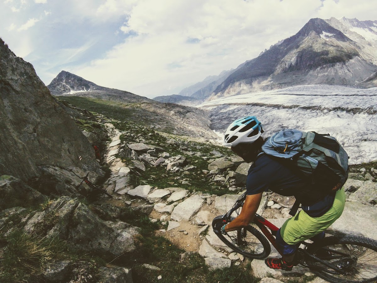
Mountain biking beside the Aletsch Glacier
- Mtb life
- October 18, 2017
A view that is hard to believe
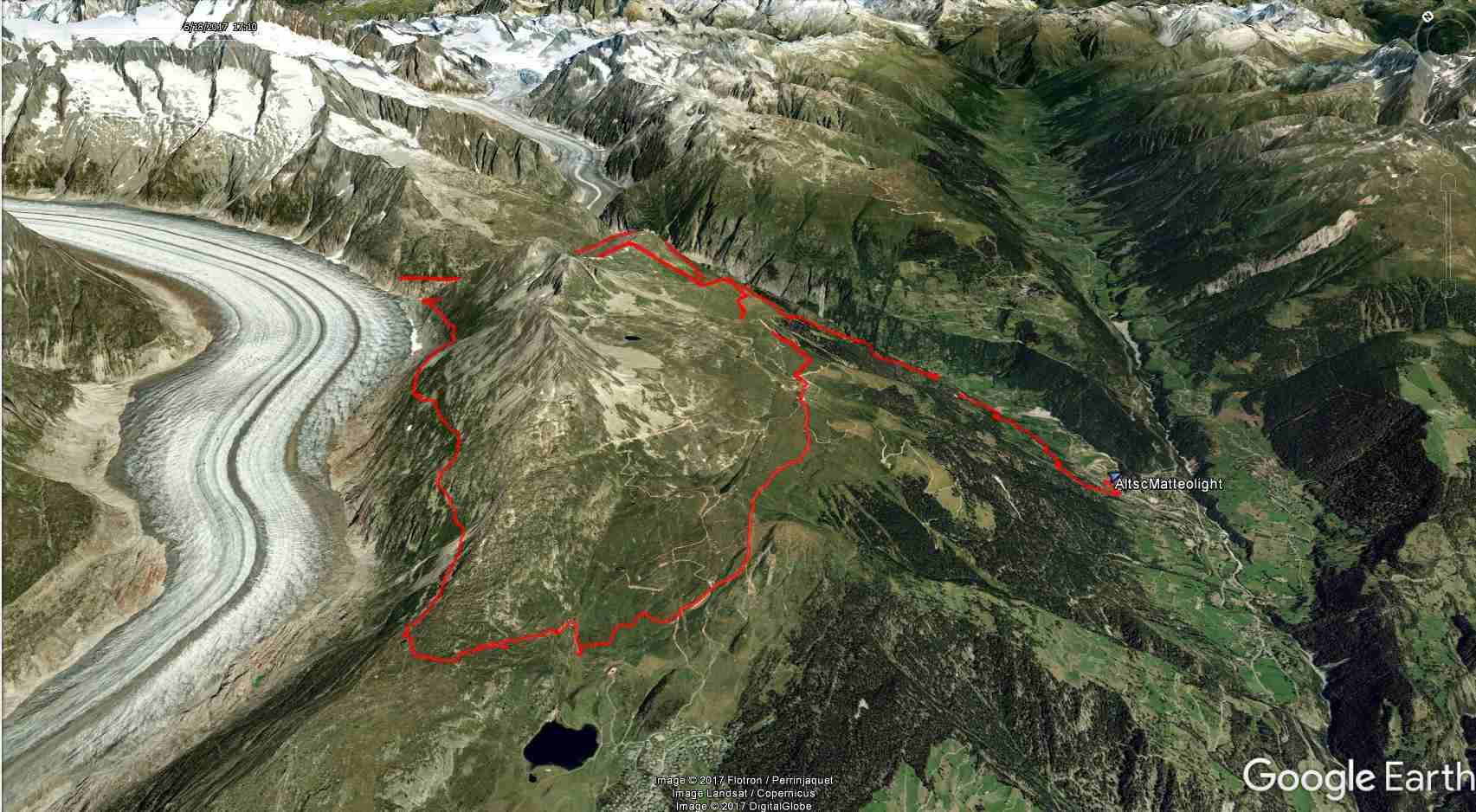
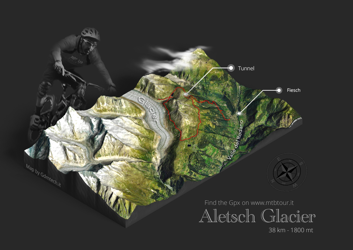
At the top of the lift, we found water for our bottles and toilets. Follow the GPS route anticlockwise. A short climb leads to a tunnel: bring a jacket even in summer, because it is cold inside. Beyond the tunnel, the track leads to a viewpoint over the glacier.
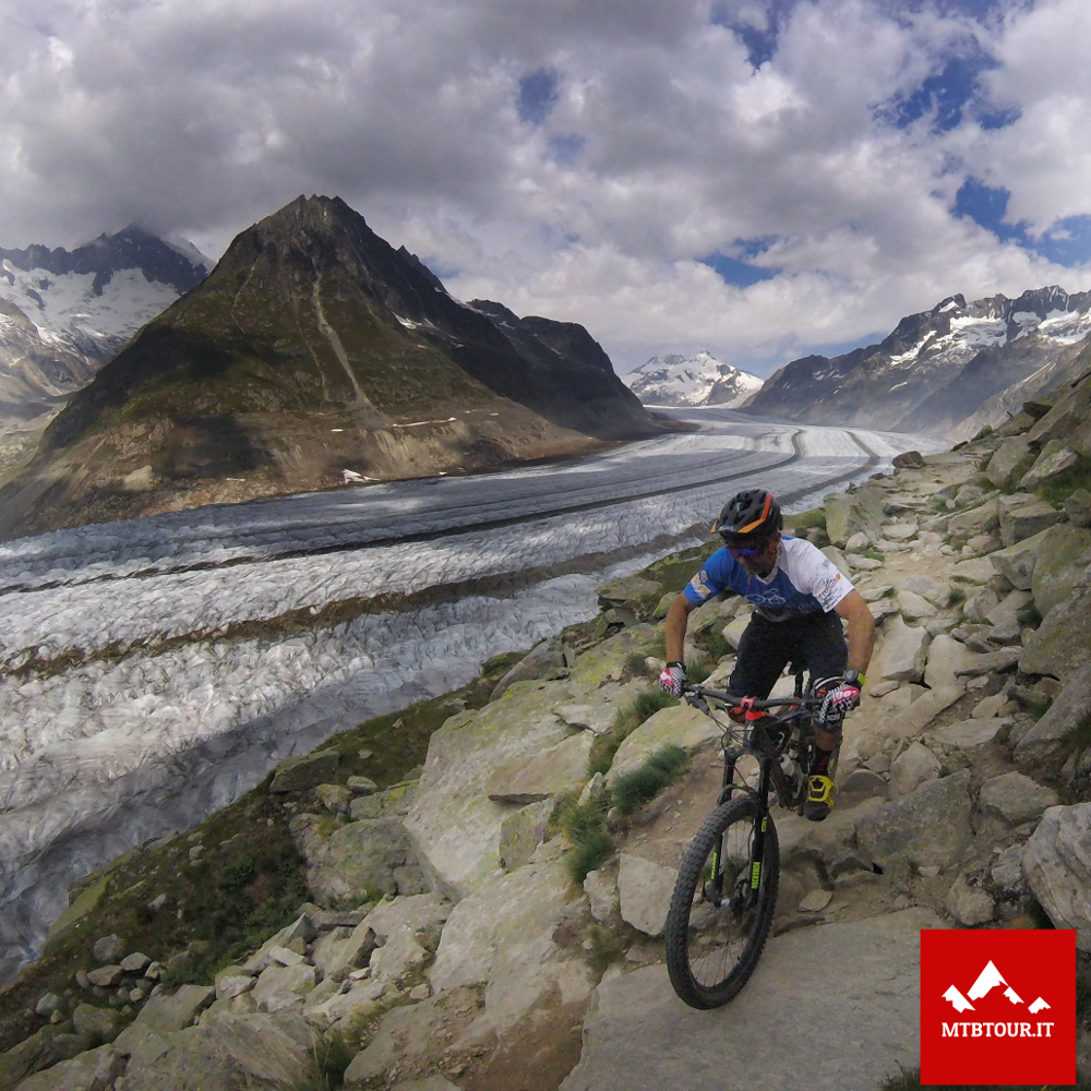
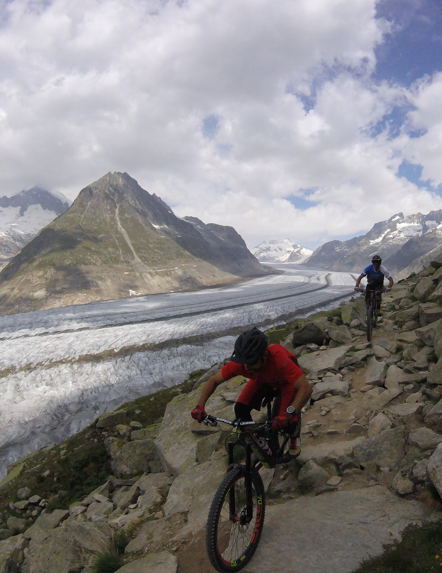
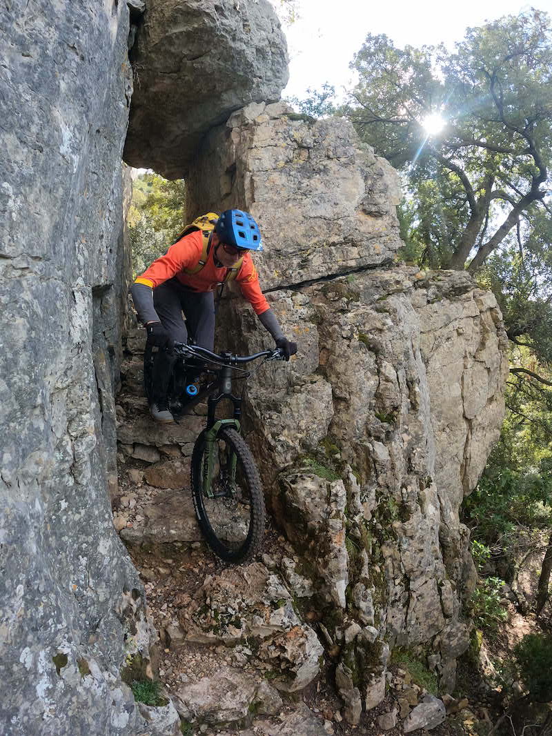
Retrace that short section and continue anticlockwise, keeping the glacier on your right. You will often need to carry your bike.
Towards the end of the glacier, the path gradually turns away to the other side of the mountain. A good descent and a steep climb return you to your earlier starting point.
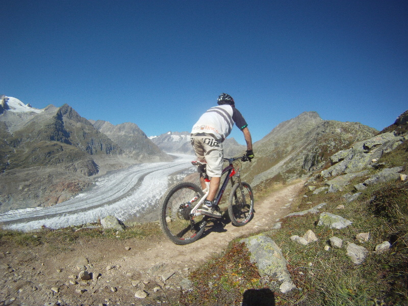
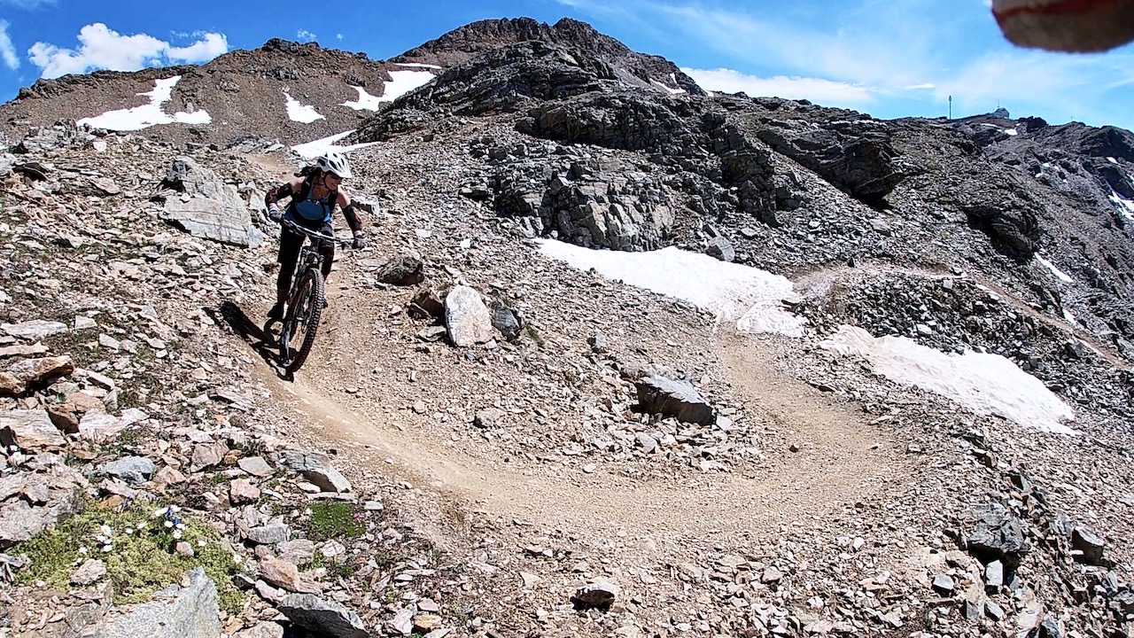
Follow the same initial section again, but this time turn right after the tunnel. A gentle climb leads into a seemingly endless descent, with technical sections at first and increasingly flowing riding further down.
Use the track to navigate the network of trails back towards the car.
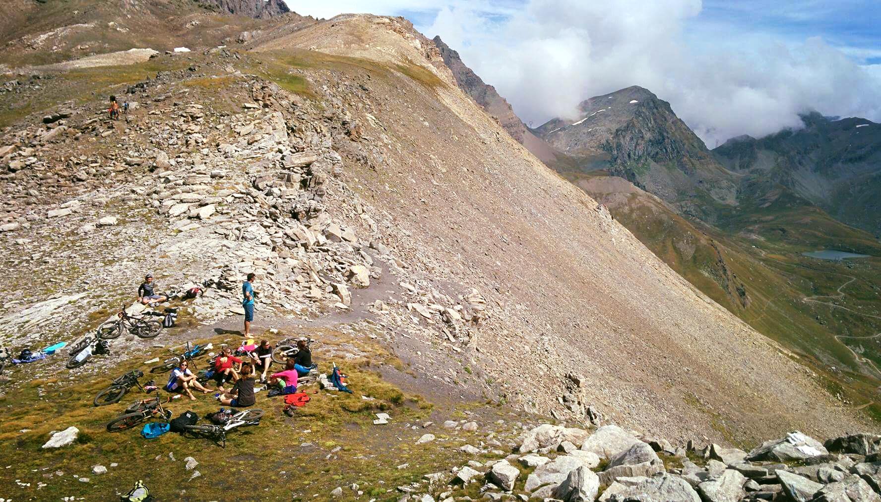
The ascent is not excessive, at around 1,000 m, but carrying the bike and the long descent make this a demanding ride. Our estimate was five to six hours at a relaxed pace with a group of similar ability, including food and photography stops. There are many technical sections and switchbacks: an all-mountain or enduro bike is particularly well suited to the terrain.
GPS track
Find the Aletsch mountain bike GPS tracks (in Italian).
Aletsch photo gallery